
Southern Cross-Island Highway, Alishan & Yushan Scenic Road, 6 Days from Taipei
6 วันจำนวนผู้เดินทาง: ตั้งแต่ 1 คนระดับความยาก: ปานกลาง
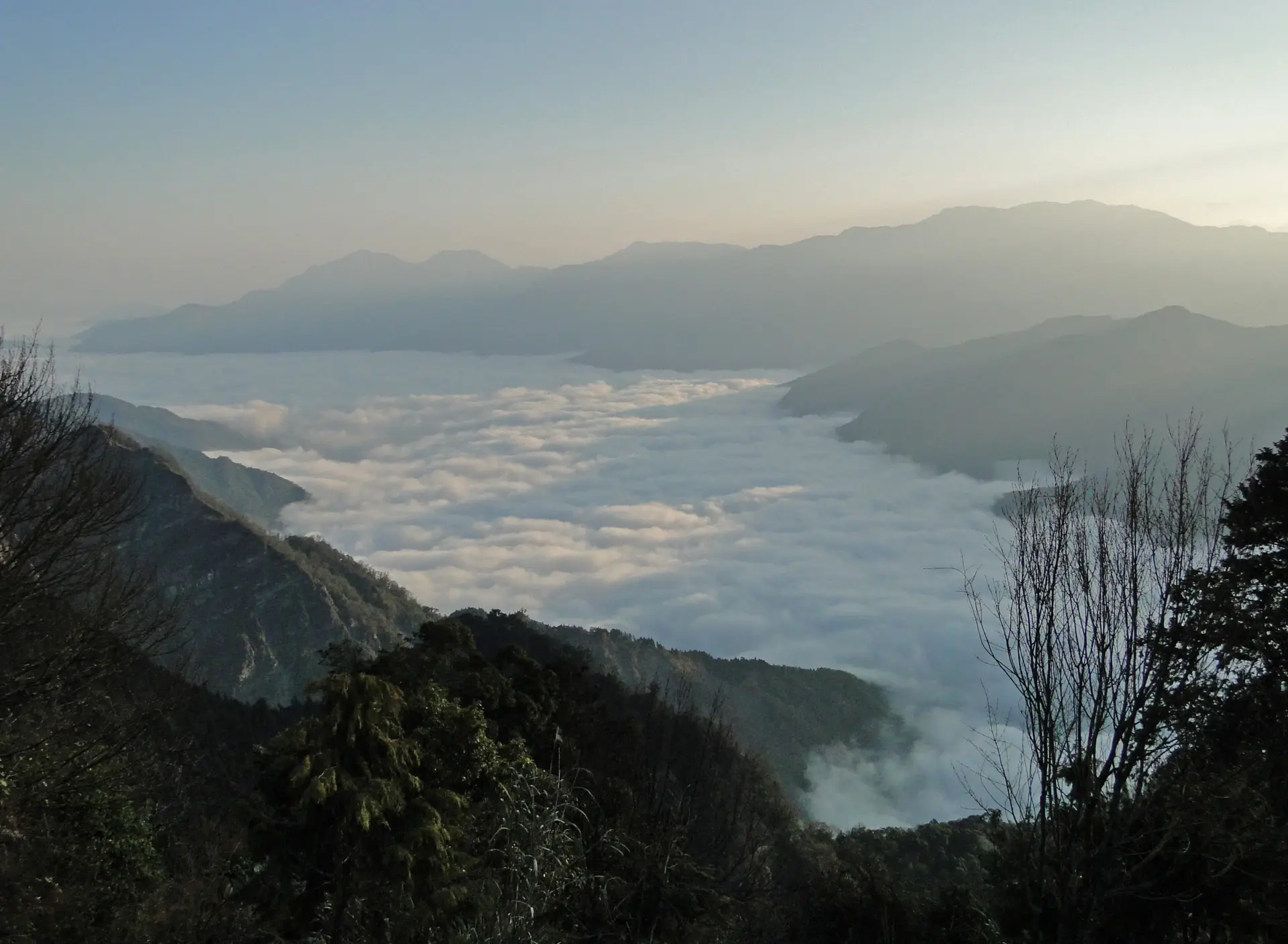
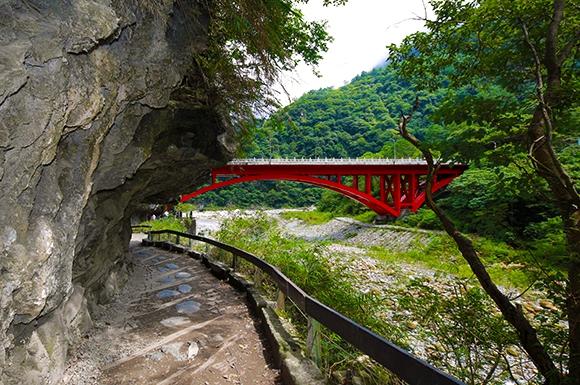
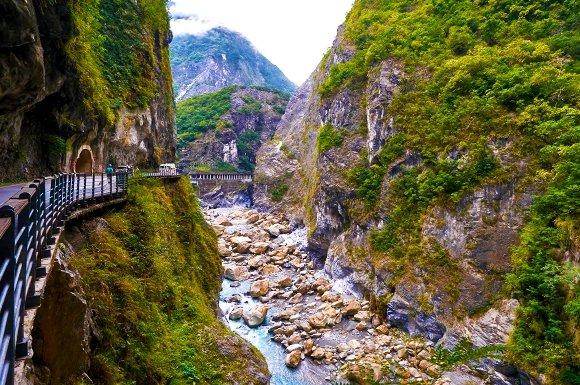
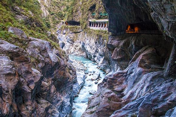
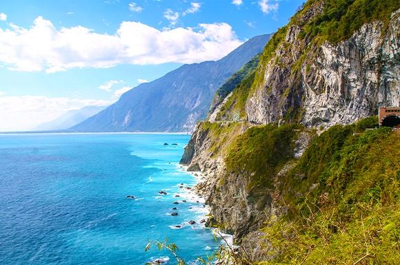
Zhongzhiguan old trail, Tianchi, Yakou and Wulu Gorge, the Suhua Highway and Taroko, then Alishan and the Yushan scenic road with hot-spring resorts.
สรุปทริป
สถานที่
- ไทเปและนิวไทเป
- หนานโถวและทะเลสาบสุริยันจันทรา
- เจียอี้และอาลีซาน
- เกาสง
- +2
ระยะเวลา
6วัน
5 คืน
อาหารที่รวม
13มื้อ
เช้า 4 · กลางวัน 4 · เย็น 5
ความเข้มข้น
ปานกลาง
เส้นทางทัวร์
พื้นที่ที่ไฮไลต์คือจุดที่ทัวร์นี้ไป แตะเพื่อดูรายละเอียด
แกลเลอรีภาพ
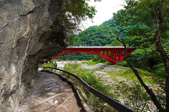
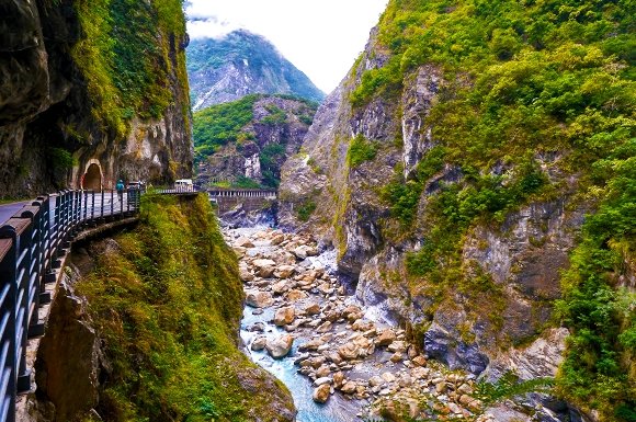
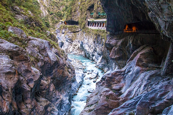
กำหนดการ
- D1
Arrival in Taipei
Pickup at Taoyuan International Airport Shilin Night Market: Established in 1910, this market is famous for a wide variety of traditional snacks, attracting visitors from around the world. Popular favorites include Da Bing Bao Xiao Bing (big pancake wrapped around small pancake), stone hot pot, and Shilin giant sausage, making it a true culinary landmark. Tonight's accommodation: The Grand Hotel Taipei.
- D2
Taipei → Suhua Highway → Hualien Taroko → East Rift Valley → 274 km / 5 hrs to Chishang
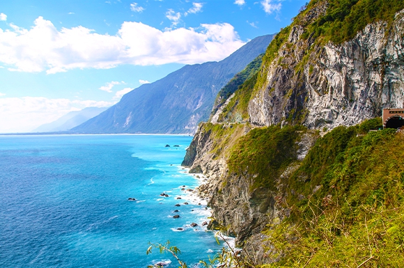
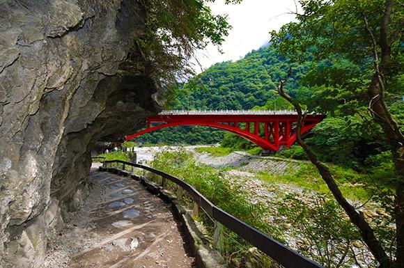
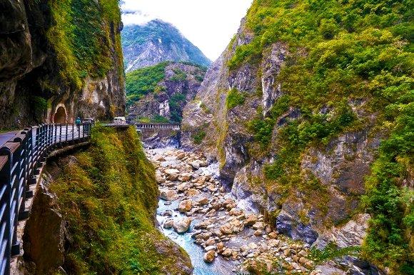
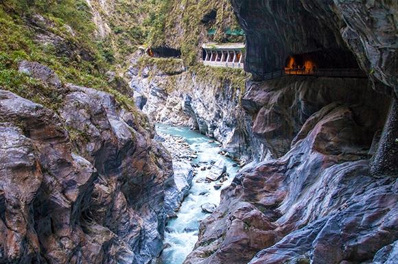
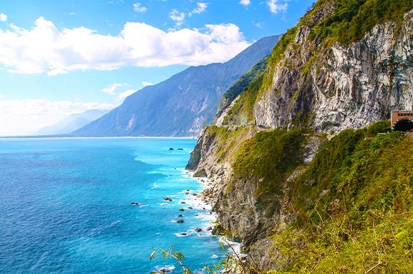
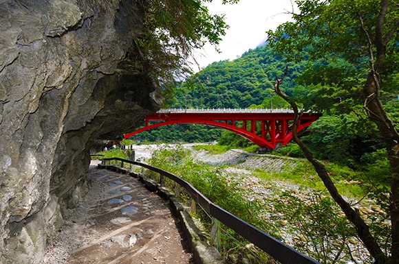
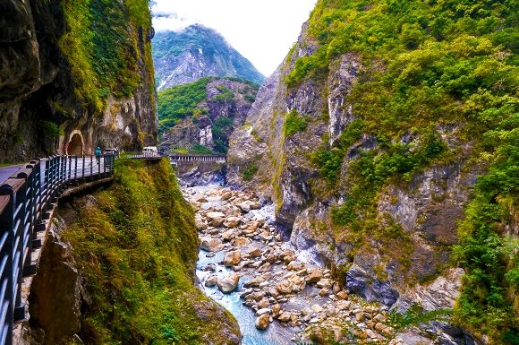
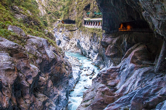
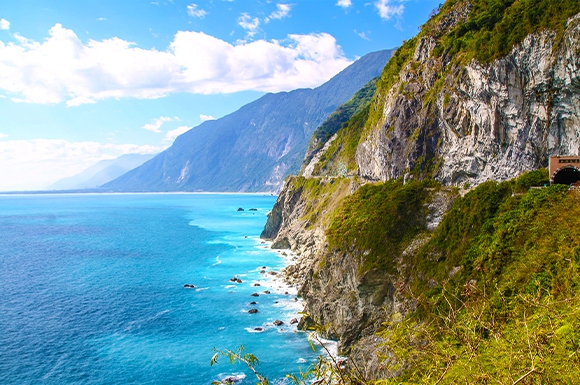
Welcome guests from all over the country. We depart at 07:30 from the meeting point and head to Hualien. Passing through Hsueshan Tunnel, about 1.5 hours, we arrive at Suao, the starting point of the Suhua Highway, and continue on to Hualien. There are many tunnels along the way, and the longest is the 12.9 km Hsueshan Tunnel. The Gufeng and Guanyin tunnels on the Suhua Highway Improvement Project connect into the second-longest highway tunnel in Taiwan at 12.6 km, which takes 13 minutes to drive. The Suhua Highway Improvement Project totals 38.8 km: Nanao → Heping → Qingshui → Chongde, including 8 long tunnels totaling 24.5 km, 8.6 km of elevated sections, and 5.6 km of at-grade sections. △Suhua Highway: 09:00–11:00 The Suhua Highway is a main highway on Taiwan's east coast, Provincial Highway 9. It runs from Baimi Bridge in Suao Township, Yilan County in the north to the Zhongshan–Zhongzheng intersection in Hualien City in the south, covering 118 km. It largely follows the coastline and occasionally winds into the flat river delta plains. Along the way you can enjoy views of the Pacific Ocean and cliffs and mountains, and it is known worldwide as a scenic highway. Although the Suhua Highway is a famous scenic route, Taiwan's east coast produces industrial raw materials such as marble and limestone, so large trucks are often seen on this road. The Pacific seabed off this route lies on the boundary between the Eurasian and Philippine Sea plates, so earthquakes are very frequent and slopes are prone to loosening. Falling rocks are possible regardless of the weather. △Nanao Township: Located at the southernmost tip of Yilan County, it is the largest in area, smallest in population, and lowest in population density of Yilan's administrative districts. It is one of the mountain Indigenous townships in Yilan County, and its residents are mainly Atayal. △Heping Station: Heping is a village in Xiulin Township and the northernmost part of Hualien County, bordering Nanao Township of Yilan County along the Heping River. Heping was once one of the three major bus stops on the old Suhua Highway (Dongao, Nanao, Heping), where buses stopped for about ten minutes so passengers could get off to wash up, shop, and eat. After the North-Link Railway opened, Heping has only a few stops and fewer trains than Xincheng and Nanao. ▲Qingshui Cliff: The Suhua Highway is an engineering marvel that winds through steep ridges, cliffs, and coastal bluffs. It is an aerial corridor you must drive to reach Hualien, and Qingshui Cliff is considered the most beautiful spot along it and one of Taiwan's Eight Scenic Wonders. Hualien! Hualien is the largest county in Taiwan. It faces the Pacific Ocean to the east and leans on the Central Mountain Range to the west, offering towering peaks, azure skies, a vast ocean, scenic East Rift Valley landscapes, and diverse cultural charm. Within the county are Taroko National Park with its high mountain gorges, the majestic Yushan (Jade Mountain) National Park, the East Coast National Scenic Area with beautiful natural landscapes, and the East Rift Valley National Scenic Area with pastoral beauty. Heading to Taroko National Park. ▲Taroko Food Area: lunch at a restaurant. 11:00–12:00 ▲Taroko National Park: 12:00–14:00 In the park, the Indigenous group is the Taroko people. Today only the Dali and Datong tribes remain on gentle terraces between Sandiaoli Gorge and Qingshui Mountain, about 1,000 m above sea level, where a few tribal members still live. Among the Indigenous peoples in Hualien County, the Amis are the largest group and the most widely distributed. The county flag is designed around the concept of the homeland of the sun. The sun rising from the sea symbolizes the dawn of the Pacific, and each point of light represents a group's color: Amis, Taroko, Bunun, Kavalan, Sakizaya, Seediq, and Han, all blended together. △Along the way: Nine Bends Tunnel, Carp Leaping Dragon Gate, Zhuilu Tunnel, Swallow Grotto Trail, and other attractions. Heading to East Rift Valley National Park. 14:00–17:30 The East Rift Valley National Scenic Area was established in 1997 and is one of the national scenic areas in eastern Taiwan. Between the Central Mountain Range and the Coastal Mountain Range, the naturally formed East Rift Valley plain is home to Fuli, Yuli, Guanshan, Chishang, and Luye townships, which are famous for rice. Stretching 160 kilometers, the East Rift Valley offers some of Taiwan's most distinctive valley scenery, where high mountains, forests, grasslands, pastures, hot springs, wetlands, lakes, Indigenous villages, Christian churches, dining and lodging, and a well-developed road network come together. It is an ideal route for scenic, nature-loving escapes, with plenty of sights to see, suitable for travelers of all ages. △Fenglin Township: Fenglin is a small town where Hakka people form the majority. Since long ago it has been known for its strong emphasis on education, and nearly a hundred of its residents have served as school principals, earning it a reputation as the town with the highest density of principals in Taiwan and the nickname "Hometown of Principals." Certified as an International Cittaslow (Slow City), Fenglin has a relaxed, laid-back atmosphere. Every year it hosts fun events such as the Watermelon Festival and the Night Parade of One Hundred Demons. Old trees, tobacco barns, historic houses, farm fields, affordable local snacks, mahua (twisted fried dough) and Hakka cuisine invite visitors to slow down, leave the rush of daily life behind, and experience a unique slow-paced journey that captures the charm of this Hakka Slow City. △Guangfu Sugar Factory Tourism Area: In 1913, the Dongtai Sugar Manufacturing Company established the Hualien Harbor Sugar Mill in Guangfu Township, Hualien County. It was later taken over by Taiwan Sugar Corporation and gradually transformed into the sugar factory tourism site it is today. △Ruisui Township: Nestled against the Central Mountain Range, Ruisui is a well-known tourist town in the East Rift Valley. Its endless hot springs, rich and creamy Ruisui fresh milk, delicately fragrant honey-scented black tea, Wenzhou pomelo (a must-eat for Mid-Autumn Festival), and the Wuhe coffee that has been fragrant since the Japanese colonial era are all signature local specialties. Gaze at the endless mountain ranges and wander through Ruisui's beautiful mountains and rivers. ▲Ruisui Tropic of Cancer Landmark Park: One of two Tropic of Cancer markers in Hualien, it sits beside Provincial Highway 9 in Ruisui, full of mountain atmosphere. Nearby, a giant teapot reminds visitors that this is the hometown of black tea! △Wuhe Terrace Tea Gardens: At an elevation of 100 to 300 meters, moistened by the mists of the Xiuguluan and Hongye Rivers, this is the home of Tianhe tea. Driving through the Wuhe Terrace, you'll see rolling tea gardens stretching as far as the eye can see. Dotted across the terraces are some thirty to forty tea shops that produce and sell their own tea, each with its own secret tea-making methods. The fragrant tea, fun tea-picking and tea-making experiences draw visitors to stop and savor the fresh, fine tea from the Wuhe Terrace. Yuli Township: Yuli is the regional center of southern Hualien and the geographic center of eastern Taiwan. It is the largest town between Hualien City and Taitung City and a key transportation hub of the East Rift Valley. △Eurasian Plate & Philippine Sea Plate Boundary Landmark: Located on the Yufu Bicycle Trail in Yuli Township, Hualien County (from the Xiuguluan River Bridge to the Yuli Antong Old Railway). Standing where the Eurasian Plate and the Philippine Sea Plate meet, you realize the wonder and mystery of nature, and marvel at the majestic beauty of the Coastal Mountain Range, the East Rift Valley and the Central Mountain Range, which makes you feel wonderfully small. Chishang Township: Located in the northern section of the East Rift Valley, Chishang sits on fertile plains formed by alluvial deposits from the Xinwulu River. With a tropical monsoon climate and abundant rainfall, it produces the nationally renowned Chishang rice, and Chishang bento is famous across Taiwan. △Bolang Avenue: Also known as the Emerald Paradise Road, this roughly 2.2-kilometer road has no utility poles along its sides. When the rice ears ripen, golden grain stretches endlessly on both sides, swaying in the wind. This peaceful pastoral scene was chosen by Bolang Coffee for its commercial, and EVA Air, endorsed by Takeshi Kaneshiro, also filmed here, so the road came to be nicknamed "Bolang Avenue." Stay overnight at Chishang Lele Sunshine Hot Spring Hotel: Near Bolang Avenue, with panoramic views of rural fields. Its architecture blends with nature, offering quality service and a leisurely space to fully enjoy the broad valley and natural retreat.
- D3
Chishang → Southern Cross-Island Highway (Full Route) → Baolai Hot Spring
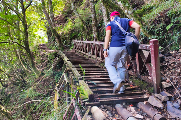
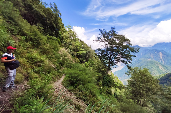
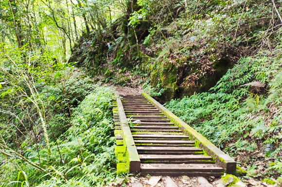
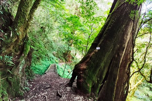
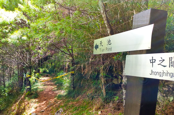
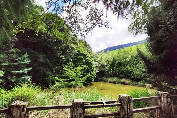
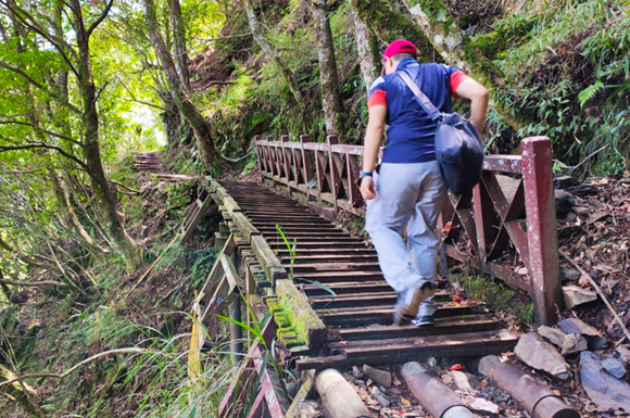
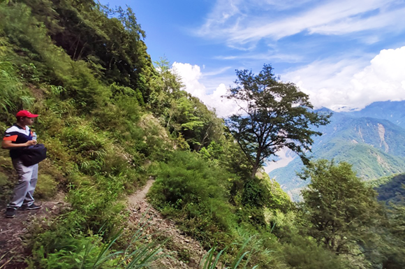
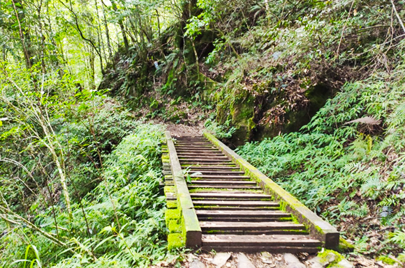
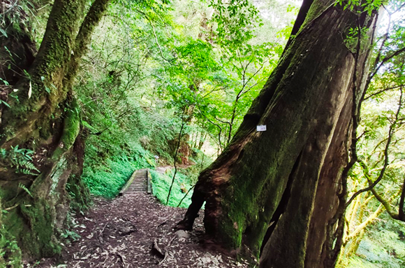
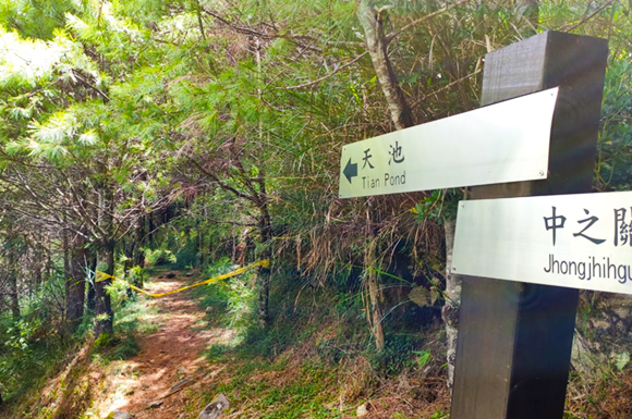
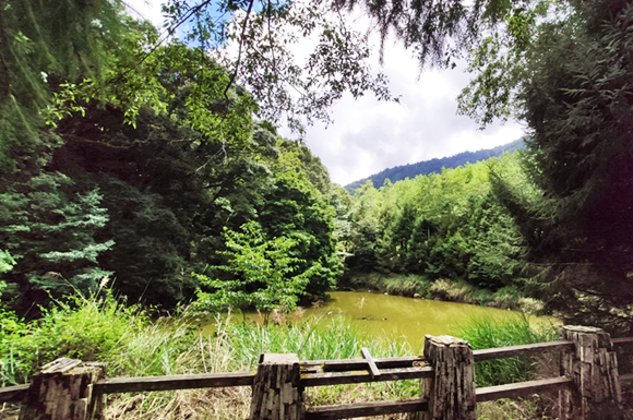
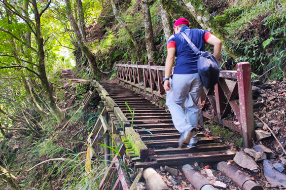
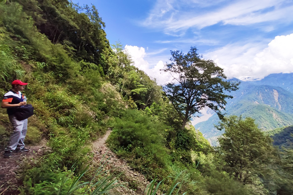
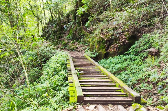
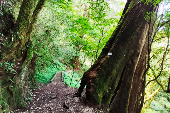
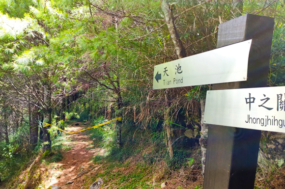
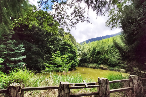
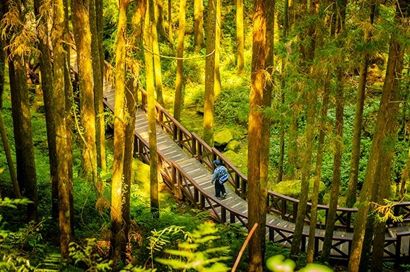
Early in the morning, cross the Beinan River Bridge and begin the South Cross-Island Highway journey. ★ The South Cross-Island Highway has many scenic spots, but due to time limits, weather, and traffic conditions, the itinerary may change at any time. Also, since sightseeing time is limited, please kindly cooperate so you can enjoy the most beautiful scenery along the South Cross-Island Highway. Along the South Cross-Island Highway beside the Xinwulu River, passing Chulai at 340m, then Xinwu at 412m! 0700–0800 Arrive at Xinwu Village to admire the plum garden and the Xinwulu River, and enjoy a coffee breakfast. Arrive at Wulu Gorge Village. 0830–0900 Wulu Gorge Village: 731m Wulu Village Battery – Bunun Located at the 187 km mark of the South Cross-Island Highway, surrounded by mountains at an elevation of over 700 meters, with a pleasant climate. Before entering the village, you will see a statue of a hunter carrying a wild boar, the village's entrance symbol, which expresses the bravery and fighting spirit of the Bunun people, a highland ethnic group. Entering the village, you will feel a very peaceful, quiet place, where the sounds of insects, birds, and frogs fill the air, and any added human noise seems to disrupt this harmonious rhythm. The village hillsides grow corn, plums, and Japanese apricots, and in late winter and early spring, plum and apricot blossoms cover the area. Wulu Battery: Follow the path behind the pavilion at Wulu Elementary School to reach the Wulu Battery hidden deep in the forest. At the high point stand two cannons over a century old. From here you can overlook the vast Wulu Village, Wulu Gorge, and the distant rolling Central Mountain Range. The stunning views and weathered cannon barrels bear witness to a chapter of anti-Japanese history filled with bloodshed. 0900–0930 Wulu Gorge was carved by long-term erosion from the Wulu Creek, forming a large S-shaped cliff gorge that is majestic and magnificent. Alkaline carbonated springs flow out from crevices in the gorge walls, and stalactites formed by long-term hot spring flow have become a special wonder of the gorge. There is also a rich ecosystem, including Taiwan red pine, maple, mountain cherry, plum blossoms, and more. Many wild hot springs along the way: Wulu Hot Spring, Liukou Hot Spring, Bishan Hot Spring, and Mokenan Creek Hot Spring. Along the roadside, you can admire dazzling colorful rock walls. We will enjoy hot spring eggs at Liukou Hot Spring. Stop for about 20 minutes. 0930–1030 Lidao Village – Bunun, 1068m. This is a larger Bunun village on the eastern section of the South Cross-Island Highway, at the 175.5 km mark of Provincial Highway 20. With an elevation over 1,000 meters, it is an important rest stop. Red beans, corn, highland vegetables, Bunun handicrafts, and other local specialties are popular. Every late April, when the Bunun hold the Ear-Hunting Festival, this peaceful hidden paradise transforms into a lively mountain village. The Ear-Hunting Festival, held to pray for good hunting, is an important Bunun ceremony. Lunch: Simple meal or boxed lunch at Lidao Village, enjoy free-range chicken, wild boar, and highland vegetables! ★ Mountain snacks will also be available on the bus. Passing Motian at 1546m and Liyuan at 1793m, arriving at Shiangyang National Forest Recreation Area. Shiangyang National Forest Recreation Area 2312m: Closed for renovation; opening time to be announced. The area has a visitor center and five forest trails: Shiangyang Trail, Shiangsong Trail, Songjing Trail, Songtao Trail, and Songyang Trail, plus a cypress boardwalk. Main vegetation includes Taiwan red pine, Taiwan red cypress forests, alder, lilies, and orchids. You may also have the chance to spot Mikado pheasants and Swinhoe's pheasants. 1100–1200 ★ Enter the open Shiangyang Viewing Platform trail for a hike, about 1 hour. Jiaming Lake: Mountain climbing permit required! Many hikers head to the South Cross-Island Highway to visit Lake Jiaming, known as the "Tears of Angels" lake. The Lake Jiaming trail starts at Xiangyang Forest Recreation Area and climbs steadily upward. This three-day, two-night hike crosses Mt. Xiangyang and Mt. Sanchia, two of Taiwan's Hundred Peaks, before reaching Lake Jiaming at 3,310 meters. The lake has no inflowing streams, yet it never dries up. Nearly 10,000 visitors come each year, making it Taiwan's most popular high-mountain trail. Xiangyang Checkpoint to Meishan Pass, about 45 km: Open every week 1.3.5.6.7 and daily 07:00〜14:00. 1230〜1400 ★Photogenic Paradise Stretch〜Pass〜Mt. Taguan〜Huigu 1. Pass: Large landslide area with spectacular sea of clouds. Stay about 30 minutes. 2. Mt. Taguan to Huigu: After passing Guanshan Tunnel, the scenery feels like a landscape painting. Numerous ancient cypress forests invite slow strolls, and the long-lived Taiwan red cypress is a true delight. Stay about 30 minutes. Xiangyang Great Cliff〜Guanshan Great Landslide Area: On the southern section of the Central Mountain Range〜southwest of Mt. Xiangyang lies a great cliff called the “Xiangyang Great Cliff.” It drops from the summit to near the pass on the South Cross-Island Highway. Viewed from the highway, when sunlight falls on the cliff, a dark jade-green sheen appears. Dropping from about 3400 meters at the top straight down to the headwaters of the Xinwulü River. The cliff top forms an opening facing southwest, an arc about 3 km long. The faces are bare rock and broken boulders, with a drop of 800 meters, awe-inspiring. Guanshan Pass〜Guanshan Tunnel: Before Guanshan Tunnel, the pass has a large collapsed area. There is now a viewing area, where you can see the striking landslide and enjoy the best sea of clouds on the South Cross-Island Highway. Guanshan Tunnel: Elevation 2722 meters, located at km 147 of the South Cross-Island Highway, 615 meters long. It is the highest point of the highway and the boundary between Meishan Village in Taoyuan District, Kaohsiung, and Liguan Village in Haiduan Township, Taitung. This is an important landmark separating the “South Section 1 and 2” of the Central Mountain Range ridge. The view is wide; if lucky, you may see clouds rising from the valley, and the swirling mist is thrilling. Many visitors stop here to admire the magnificent mountain mist. ★Mt. Taguan: Hiking trail requires a hiking permit! Mt. Taguan, Guanshanling Peak and Kuhanuxin Mountain are together called the “Three Stars of the South Cross-Island Highway.” These peaks exceed 3,000 meters and are among the Hundred Peaks at the end of the middle section of the Central Mountain Range, within Yushan (Jade Mountain) National Park. Opposite the trailhead stands a towering thousand-year-old Taiwan red cypress, a striking landmark. About 2.2 km, about 4 hours total. The sea of clouds and the surrounding peaks are breathtaking, truly worth it! Huigu 2454m: Located on Taiwan Route 20, km 141〜145. Along the way, the forest is made up of Taiwan red cypress, Taiwan false cypress, spruce and hemlock. Because Huigu sits at the mist forest belt altitude, the climate is humid and cool, reflecting the mountain climate between warm-temperate and cool-temperate zones. 1430〜1630 Zhongzhiguan Old Trail hike 2 hours: 1938m This is the corridor preserved from the Guanshan Mountain-Crossing Old Trail. After the South Cross-Island Highway opened, parts of the old road were abandoned. Only after Yushan National Park was established was the old trail re-surveyed and developed into a popular hiking trail. Along the trail, the forest is beautiful and the scenery pristine. The boardwalks are clear, and interpretive signs are thorough. It is a forest bathing route. Tianchi Lake: Elevation 2280 meters, heart-shaped, a beautiful lake in the southern section of Yushan National Park. Located behind Changqing Shrine on the South Cross-Island Highway, it is a must-visit along the Zhongzhiguan Old Trail. Zhongzhiguan Old Trail hike 3.5 km. Little sunlight reaches through the forest, and it is always slippery. Hikers, please take care. Meishan Visitor Center 1014m is the gateway from the South Cross-Island Highway into the Yushan National Park management area. It offers dining, rest and interpretive services, built with Bunun stone slabs. Next to it is the Bunun Cultural Exhibition Center. Tonight, stay at Baolai Hot Spring Resort. Baolai Hot Spring: Located along the Laonong River beside the Baolai No. 1 Bridge, the spring is sulfur-hydrogen type with a water temperature of about 60°C. Hotels line the hot spring area, making it lively, and it is a famous hot spring destination in southern Taiwan.
- D4
Baolai Hot Spring→140km Alishan→Yushan (Jade Mountain) Scenic Highway→72km Dongpu Hot Spring
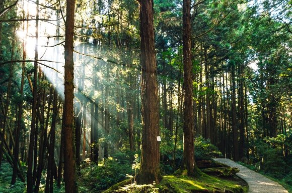
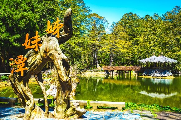
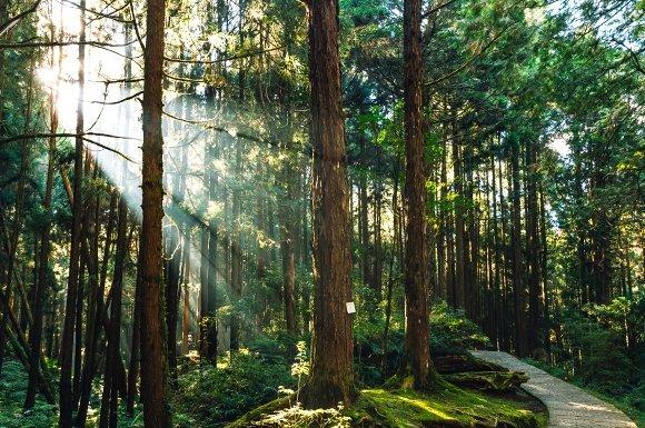
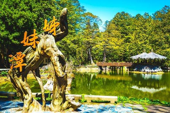
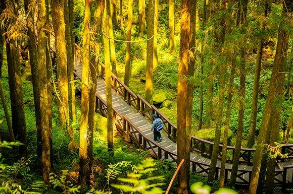
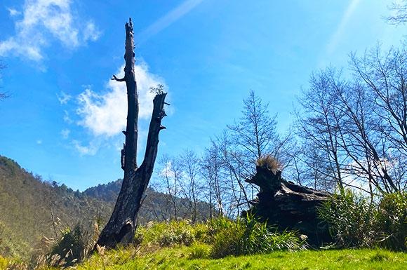
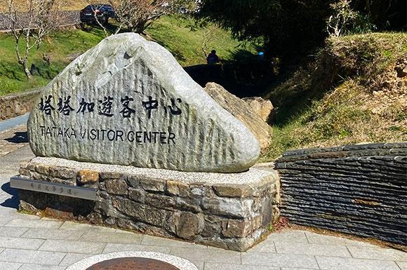
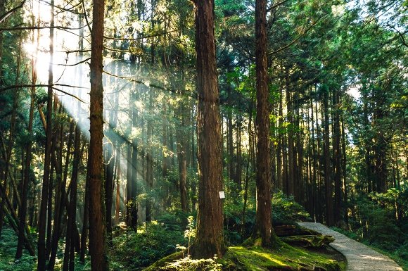
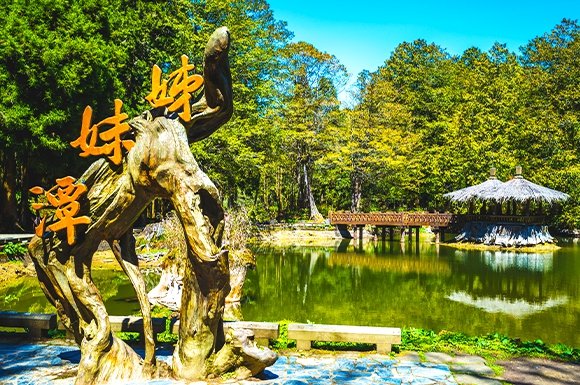
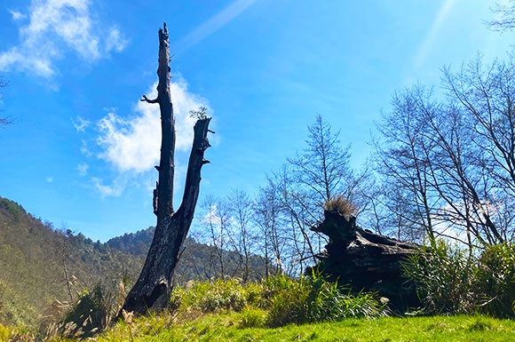
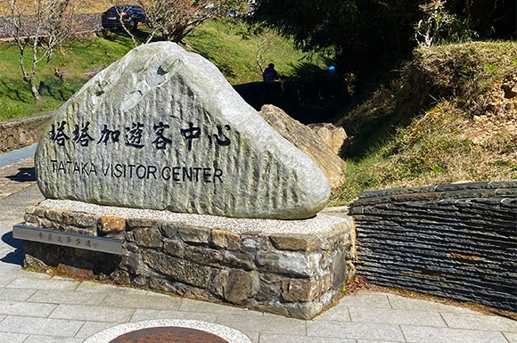
△Laonong River Valley: Originating from Yushan (Jade Mountain) East Peak and Xiuguluan Mountain, it flows through the farming towns of Meishan, Taoyuan, Baolai, Laonong, and Liugui in Kaohsiung. The South Cross-Island Highway runs along the valley, and the banks of the Laonong River also feature unique geological landscapes. Jiaxian Area: In ancient times, this was a traditional hunting ground for Indigenous peoples. Later, during the Qing dynasty, the Siraya people and Han settlers who originally lived in the Yujing Basin gradually crossed eastward over the Alishan Range and settled in the Nanzixian River valley (today's Jiaxian Area), which they called Jiaxianpu. Alishan National Forest Recreation Area: Alishan is Taiwan's most famous and popular forest recreation area, a jade gem on the Alishan Range that sparkles brilliantly. With its rich scenery of forest trains, giant trees, sea of clouds, sunrise, and cherry blossoms, it attracts countless domestic and international visitors every year. Lunch: Alishan Restaurant Sisters Lakes: The famous Sisters Lakes of Alishan are two alpine lakes of different sizes. To the right of Sister Lake is the Taiwan red cypress forest, currently the densest cypress grove within Alishan National Forest Recreation Area; Giant Tree Trail: Along the way, dozens of centuries-old Taiwan red cypress, Taiwan incense cedar, and Japanese cedar stand tall. The giant tree area is divided into two trails, totaling about 1,100 meters. The boardwalks, built of preservative-treated timber, rise above the lush forest like a coiled dragon, guarding the vibrant thousand-year-old Taiwan red cypress forest. Alishan Museum: A wooden building made of cypress, constructed during the Japanese era. The entire museum was restored using Taiwan first-grade cypress, preserving its original cypress fragrance. Its exhibits focus on the Forest Railway, early logging history, and forest conservation, including early Alishan maps, cross-sections of cypress wood, logging tools, specimens of the Alishan Five Trees, early logging and timber-transport models, locomotive models, Tsou Indigenous artifacts, models of Alishan Forest Railway relics, and precious historical photographs. Alishan Giant Tree Site: This is the first-generation Alishan Giant Tree, once the spiritual symbol of Alishan. A Taiwan red cypress about 3,000 years old, it stood 55 meters tall with a chest circumference of 23 meters. In 1956, the tree was struck by lightning; its trunk caught fire, hollowed out and charred, and eventually dried up and died. In 1998, it was felled to return to nature, and only the remains can be seen today. Tefuye Forest Trail: Elevation 1,700–2,300 meters. The trail was originally a hunting path opened long ago by the Tsou people. During the Japanese era, the rear section was converted into the "Water Mountain Line" railway for transporting timber, and many railway relics remain today. The trail is about 6.3 kilometers long. Strolling along it, you can enjoy forest bathing in nature, making it an ideal place for outdoor hiking. Only 2 hours; return the same way. Lulin Giant Tree: A precious Taiwan red cypress species with a chest circumference of 22.5 meters, estimated to be about 2,700 years old. It is currently the second-largest giant tree in Taiwan. Because Lulin Giant Tree grows at the base of a cliff beside the road, about 40 meters below the road surface, passersby usually only see its lush green crown. For this reason, it was not discovered until recent years. Arrive at Tataka Visitor Center (Provincial Highway 18, 107.7k). Tataka Visitor Center: Located at 2,610 meters above sea level, at the junction of Provincial Highways 18 and 21. Exhibits cover Yushan's high-altitude ecology, terrain and geology, Bunun and Tsou cultures, and the history of Yushan National Park. Arriving at Tataka, the earlier mist swirls at your feet. The Alishan Range stretching to the west looks like a fairy-tale mountain sea of clouds; the Linzhi and Lulin mountain ranges running southwest lean alongside the road; looking east, the majestic, jagged peaks of Yushan stretch across the horizon, their ridges vying with the sky. To the north, Dongpu Mountain rises beside the road, making it a perfect spot for scenic views. The Taroko area is often blanketed by sea of clouds and mountain mist rising from the valleys. In early winter, when the Taiwan red maple near the surrounding mountains turns red, autumn colors dot the green forest and add rich hues to the landscape. In early spring, Yushan rhododendrons bloom in the mountain forests with white and pink flowers that dress the land in colorful garments. The New Central Cross-Island Highway, also known as the Yushan Scenic Highway, is a road that "does not cross east to west" and centers on Yushan. Tatajia is the highest point of the New Central Cross-Island Highway, at an elevation of 2,610 meters. Along the way, enjoy the scenery of high-mountain tea gardens and beautiful views of Yushan. Yushan National Park boundary marker, Yushan viewpoint, and mountain-view rest area: Along the way, Yushan's scenery is stunning, the air is fresh, and it's a wonderful place to relax! Tatajia Couple's Sacred Tree: A landmark thousand-year-old Taiwan red cypress that was burned in a forest fire in 1963, leaving only one tree today. Tonight you'll stay at a hot spring hotel in Dongpu and enjoy Dongpu cuisine. Dongpu Hot Springs: Dongpu is a Bunun village famous for its hot springs and mountain scenery, located along the Chenyoulan River at the starting point of the Bajiaoguan Old Trail. The spring water is a weakly alkaline carbonated spring with a pH of 7.7 and a temperature of about 53°C. The water is clear, and it gushes naturally from the valley, rock crevices, and gravel layers, creating a steaming landscape. The spring water is then channeled to inns and hotels so visitors can enjoy the hot springs.
- D5
Dongpu Hot Springs → Wangxiang → Shuili → Jiji → Taichung → Taipei (360km / 5h)
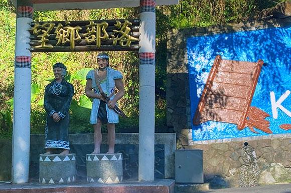
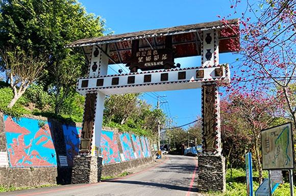
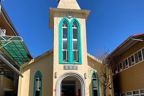
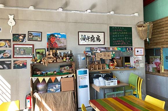
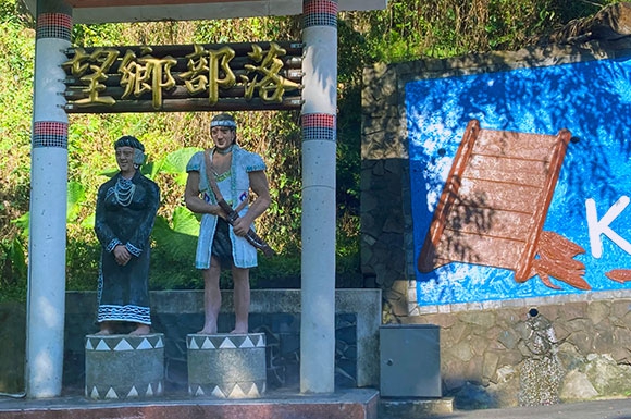
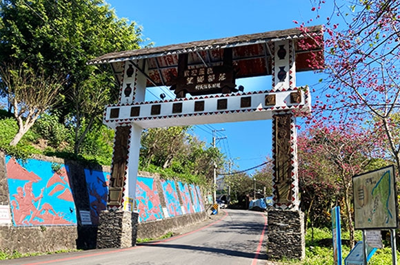
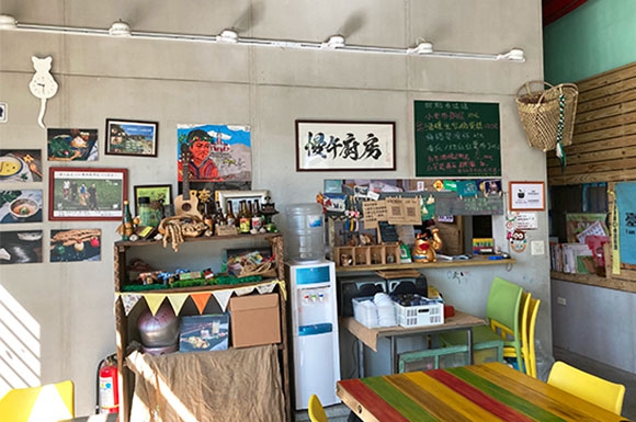
Dongpu Bunun Village: Located where the Chenyoulan River meets the Shalixian River, this is the Bunun village closest to Yushan's main peak. Dongpu Hot Springs was formerly known as Shalixian, and it is a midpoint scenic area between Alishan and Sun Moon Lake, as well as a rest stop for hikers traveling through the Bajiaoguan toward Yushan. Dongpu Suspension Bridge: The country's highest and longest pedestrian suspension bridge. At the entrance, two adorable wild boar stone sculptures welcome visitors. The bridge body is painted a grass green that blends into the forest, and its arched design creates an eight-meter height difference between the uphill and downhill sections. The bridge deck features a unique openwork structure, so walking across it lets you gaze at the Yushan range and sweeping mountain views, or challenge yourself to look down at the scenery beneath your feet and feel like you're strolling among the clouds! Bajiaoguan Old Trail: Completed in the first year of the Guangxu era (1875), the trail runs from Linpipu (today's Zhushan Town) in the west to Pushige (today's Yuli Town) in the east, about 152 kilometers long. The entire trail is currently within the administrative area of Yushan National Park. In 1987, the Qing-dynasty Bajiaoguan Old Trail was designated a national first-class historic site, "ruins." Wangxiang Village: A settlement of the Bunun Luanshe group, located on a high mountain plateau between the Yushan Range, the Alishan Range, and the Central Mountain Range at an elevation of 850 meters. From here you can look out over the great grasslands of the Bajiaoguan Old Trail, and every day you can open your door to views of the Yushan peaks, enjoying Taiwan's high-mountain ecological beauty while reflecting on its history and its sweeping past. Around 1937, during the Japanese colonial era, the entire village moved from Mount Luandashan in the Central Mountain Range to Wangxiang Village. The main reason for choosing this site was that both locations offered daily views of Yushan. This was also the teaching of the old chief Paian: "Never leave the sight of Yushan." Slow Noon Kitchen: Hidden in Wangxiang Village, serving refined Bunun-style set meals. Wangxiang Village is a Bunun village in Xinyi, Nantou. Slow Noon Kitchen is a popular restaurant in Wangxiang Village. Ordinary-looking ingredients are given fresh new life, and its unique flavors, rarely found in the city, show the care behind every dish. Jiji Green Tunnel: Located between Mingjian Township and Jiji Town, this 4.5-kilometer camphor tree road is the famous Jiji Green Tunnel. These camphor trees were planted in 1940. According to local elders, caring for them was a real labor of love: every day, water had to be carried from the stream to keep the trees from withering. Today the trees are lush, their branches forming a shady canopy over the road. Ride a bicycle through the tunnel and enjoy it! As the saying goes, "Those before planted the trees, those after enjoy the shade." A tourist railway runs alongside, and the little train slowly passes by, adding poetic charm. It is a favorite photo spot for many travelers and newlyweds. Return to Taipei via Taichung, concluding the Hualien-Taitung route, the South Cross-Island Highway, Alishan, and the New Central Cross-Island Highway Yushan Scenic Highway.
- D6
Taipei Departure
ที่พักและอาหาร
| วัน | อาหารเช้า | อาหารกลางวัน | อาหารค่ำ | ที่พัก |
|---|---|---|---|---|
| D1 | — | — | Chinese cuisine | The Grand Hotel Taipei or similar |
| D2 | on your own | at Taroko Mountain Food Court | at Chishang Specialty Restaurant | Lele Sunshine Hot Spring Hotel |
| D3 | at resort | Tribal meal | Resort restaurant | Baolai Guolan Hot Spring Resort or similar |
| D4 | at the resort | at Alishan restaurant | at the hot spring resort | Tilun Hot Spring Resort Hotel or similar |
| D5 | at the hotel | at Wangxiang Village | Hakka cuisine | The Grand Hotel Taipei or similar |
| D6 | at the hotel | — | — | — |
D1
- อาหารเช้า
- —
- อาหารกลางวัน
- —
- อาหารค่ำ
- Chinese cuisine
- ที่พัก
- The Grand Hotel Taipei or similar
D2
- อาหารเช้า
- on your own
- อาหารกลางวัน
- at Taroko Mountain Food Court
- อาหารค่ำ
- at Chishang Specialty Restaurant
- ที่พัก
- Lele Sunshine Hot Spring Hotel
D3
- อาหารเช้า
- at resort
- อาหารกลางวัน
- Tribal meal
- อาหารค่ำ
- Resort restaurant
- ที่พัก
- Baolai Guolan Hot Spring Resort or similar
D4
- อาหารเช้า
- at the resort
- อาหารกลางวัน
- at Alishan restaurant
- อาหารค่ำ
- at the hot spring resort
- ที่พัก
- Tilun Hot Spring Resort Hotel or similar
D5
- อาหารเช้า
- at the hotel
- อาหารกลางวัน
- at Wangxiang Village
- อาหารค่ำ
- Hakka cuisine
- ที่พัก
- The Grand Hotel Taipei or similar
D6
- อาหารเช้า
- at the hotel
- อาหารกลางวัน
- —
- อาหารค่ำ
- —
- ที่พัก
- —
อาหารและที่พักเป็นไปตามการจัดเตรียมจริง และอาจปรับเปลี่ยนตามฤดูกาล
รายละเอียดราคา
| รายการ | ราคา |
|---|---|
| ผู้ใหญ่ | NT$27,800 |
รวม
- Package includes: 1. Hotel 2. Meals 3. Sightseeing 4. Insurance 5. Minibus.
- Package includes: 1. Hotel 2. Meals 3. Sightseeing 4. Insurance 5. Minibus.
ไม่รวม
- Not included: tour leader, driver service tips, NT$250 per person per day, totaling NT$1,500
การเดินทาง
Travel by 9-seat minibus throughout the trip, with professional drivers handling mountain roads.
จุดนัดพบ / เวลา
Day 1: Pickup at the arrivals hall of Taoyuan International Airport (TPE). Please provide your arrival flight when you register.
Travelers already in Taipei may instead meet at Taipei Main Station East Gate 3 (time to be confirmed separately).
นโยบายยกเลิกและคืนเงิน
Handled in accordance with the Tourism Administration's "Domestic Travel Standard Contract":
Cancellation 41 or more days before departure: 5% of tour fee as compensation
Cancellation 31–40 days before departure: 10% of tour fee as compensation
Cancellation 21–30 days before departure: 20% of tour fee as compensation
Cancellation 2–20 days before departure: 30% of tour fee as compensation
Cancellation 1 day before departure: 50% of tour fee as compensation
Cancellation on the day of departure or failure to notify non-attendance: 100% of tour fee as compensation
วีซ่าและประกันการเดินทาง
Foreign travelers should confirm the visa, Electronic Travel Authorization, or visa-free eligibility required for entering Taiwan based on their passport, and make sure their passport is valid for at least 6 months (see the "Travel Notes" on this website).
In accordance with the Tourism Development Act, we carry travel agency liability insurance and performance guarantee insurance; we recommend travelers purchase personal travel accident and medical insurance separately.
หมายเหตุ
1. Departure dates: Daily departures.
2. Tour price: Special cash price of NT$18,800 per person. Minimum 6 passengers for a 9-seat minibus.
3. Package includes: 1. Hotel 2. Meals 3. Sightseeing 4. Insurance 5. Minibus.
4. Not included: tour leader, driver service tips, NT$250 per person per day, totaling NT$1,500
ต่อคน
เริ่มต้น NT$27,800
ประมาณ ฿28,700อัตราแลกเปลี่ยนโดยประมาณ ราคาจริงเป็นดอลลาร์ไต้หวันใหม่ (NT$)
- ✓ ตอบกลับภายใน 24 ชั่วโมง
- สอบถามฟรี ทีมงานจะตอบกลับพร้อมใบเสนอราคาทางอีเมล
- นโยบายยกเลิกและคืนเงิน →
Southern Cross-Island Highway, Alishan & Yushan Scenic Road, 6 Days from Taipei
เริ่มต้น NT$27,800
ประมาณ ฿28,700