
Southern Cross-Island Highway, Tianchi & Wulu Gorge, East Rift Valley Hot Springs, 5 Days
5 díasTamaño del grupo: desde 1 viajeroDificultad: Moderado
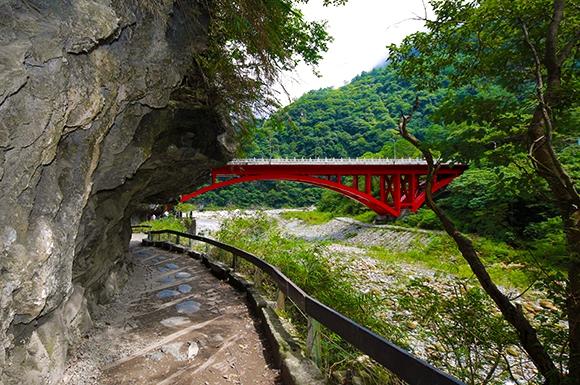
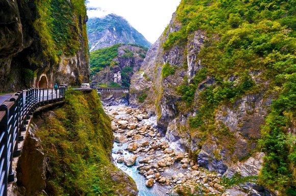
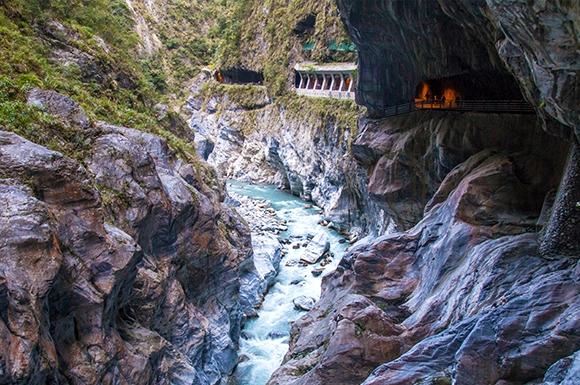
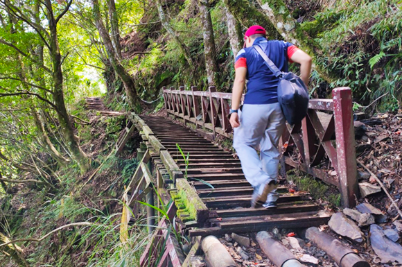
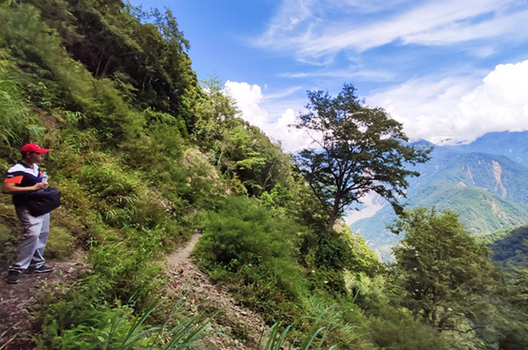
The full Southern Cross-Island Highway with sea of clouds and waterfalls, Taroko, the East Rift Valley and Chishang, with hot-spring hotel stays.
De un vistazo
Lugares
- Taipéi y Nuevo Taipéi
- Changhua y Yunlin
- Kaohsiung
- Hualien y Taroko
- Taitung y el Valle del Rift Oriental
Duración
5días
4 noches
Comidas incluidas
10comidas
Des. 3 · Alm. 3 · Cena 4
Ritmo
Moderado
Recorrido del tour
Las zonas resaltadas forman parte del tour; toca una para saber más.
Fotos
Itinerario Diario
- D1
Arrive in Taipei
Pick-up at Taoyuan International Airport (TPE) Shilin Night Market: Established as early as 1910, it is famous for a wide variety of traditional snacks that attract visitors from around the world, such as Da Bing Bao Xiao Bing (sesame pancake wrapped around a smaller one), stone pot hot pot, and Shilin giant sausage, making it a true food landmark. Tonight's accommodation: The Grand Hotel Taipei.
- D2
Taipei → Suhua Highway → Taroko → East Rift Valley → 274km/5h Chishang
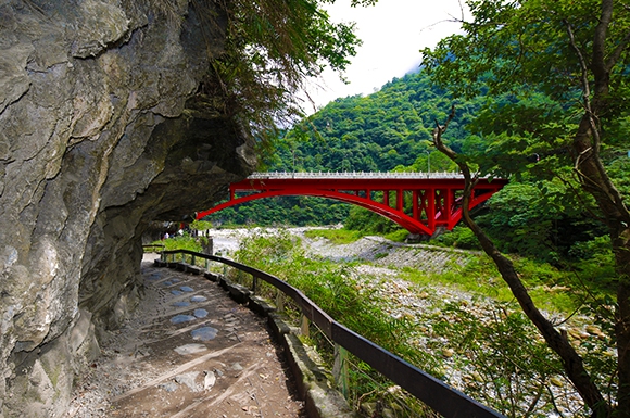
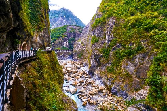
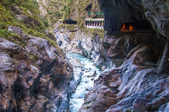
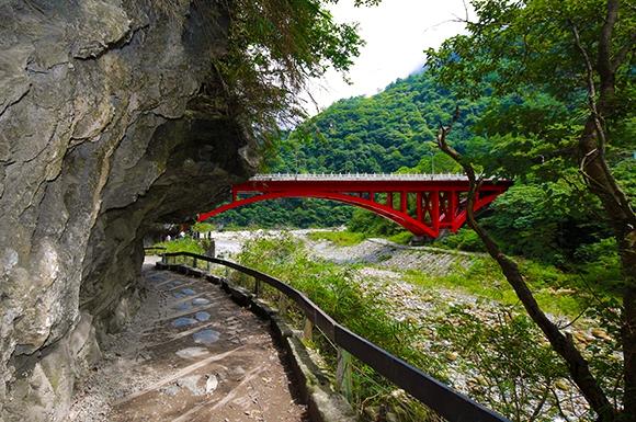
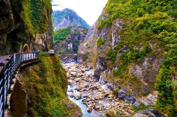
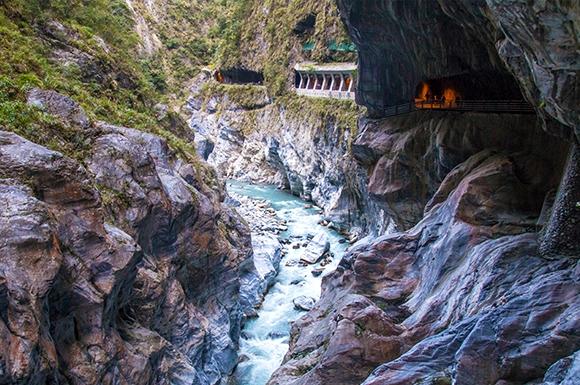
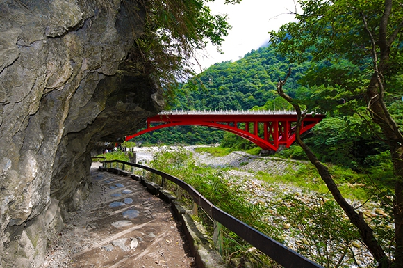
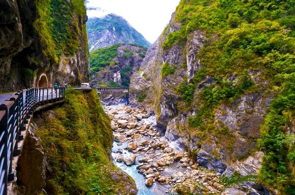
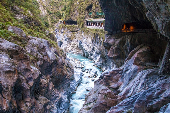
Welcome, distinguished guests from across the island! We depart at 0700 in the morning and head for Hualien. We pass through the Snow Mountain Tunnel, about 1 hour, and arrive at Suao, the starting point of the Suhua Highway, then continue on to Hualien. The route has many tunnels. The Snow Mountain Tunnel, the longest, is 12.9 km. The Gufeng and Guanyin tunnels of the Suhua Improved Highway link together to form a 12.6 km road tunnel, the second longest in Taiwan, and the drive takes 13 minutes. The Suhua Improved Highway is 38.8 km long, running Nan'ao → Heping → Qingshui → Chongde. Among it, 8 long tunnels total 24.5 km, with 8.6 km of elevated road and 5.6 km at ground level. △Suhua Highway: 0800–1000 Located along Taiwan's east coast, Provincial Highway 9 is a major road running from Bailimqiao in Suao Township, Yilan County, in the north to the Zhongshan Zhongzheng intersection in Hualien City in the south, covering 118 km. It follows the coastline for most of the way, occasionally winding into the flat river delta lowlands. Along the road you can enjoy views of the Pacific Ocean and steep cliffs, making it one of the world's most famous scenic highways. Although the Suhua Highway is renowned for its scenery, the east coast produces abundant industrial materials such as marble and limestone, so large trucks are often seen on this road. Moreover, the undersea area of the Pacific off this coast sits on the boundary between the Eurasian and Philippine Sea plates, where earthquakes are very frequent and slopes are prone to loosening, so rockfalls may occur in any weather. △Nan'ao Township: Located at the southernmost tip of Yilan County, it is the county's largest township by area, with the smallest population and lowest population density. It is one of the mountain Indigenous townships of Yilan County, and its residents are mainly Atayal. △Heping Station: Heping is a village in Xiulin Township and the northernmost part of Hualien County, bordered by Nan'ao Township in Yilan County along the Heping River. In the past, Heping was one of the three major bus stops on the Suhua Highway (Dong'ao, Nan'ao, and Heping), where buses stopped for about ten minutes so passengers could get off to wash up, shop, and eat. After the North-Link Railway opened, Heping has only a few stops, fewer than Xincheng and Nan'ao. Hualien is Taiwan's largest county. It faces the Pacific Ocean to the east and leans against the Central Mountain Range to the west, known for its majestic high mountains, deep blue skies, vast ocean, beautiful East Rift Valley, and diverse cultural landscape. The county is home to Taroko National Park with its high mountain gorges, the majestic Yushan (Jade Mountain) National Park, the Eastern Coast National Scenic Area with its beautiful natural scenery, and the East Rift Valley National Scenic Area with its pastoral farmland. Next, we head to Taroko National Park. ▲Taroko National Park: 1000–1100 The Indigenous people of the park are the Taroko, and today only a few still live in the Dalipu and Tongan settlements on the gentle terraces between the Sakajiao Gorge and Qingshui Mountain, in mountainous areas at about 1,000 meters above sea level. △Along the way: Jiuqudong Tunnel, Carp Leaping Dragon Gate, Zhuilu Tunnel, Swallow Grotto Trail, and other attractions. Lunch: Taroko Culinary Feast Next, we head to the East Rift Valley National Park. The East Rift Valley National Scenic Area was established in 1997 and is one of the national scenic areas in eastern Taiwan. The East Rift Valley is a naturally formed valley lying between the Central Mountain Range and the Coastal Mountain Range. Towns and townships such as Fuli, Yuli, Guanshan, Chishang, and Luye in the valley are famous for rice. The valley stretches 160 km with scenery of high mountains, forests, grasslands, pastures, hot springs, marshes, lakes, and Indigenous villages, with well-developed transportation and tourism services. It is an ideal route for enjoying mountains and waters, with many attractions! △Fenglin Township: A small town where Hakka people are the majority. It has long been known for its strong academic tradition, with nearly a hundred people who have served as school principals, making it the town with the highest density of principals in Taiwan, and so it is also called "Hometown of Principals." △Guangfu Sugar Factory Area: In 1913, the Taiwan Sugar Company (Tōtō Seitō Kabushiki Kaisha) established the Hualien Harbor Sugar Refinery in Guangfu Township, Hualien County. It was later taken over by Taiwan Sugar Corporation and gradually transformed into today's sugar factory tourist site. △Ruisui Township: Nestled along the Central Mountain Range, Ruisui is a charming town renowned as a gateway to the East Rift Valley. Enjoy its abundant hot springs, rich Ruisui fresh milk, fragrant honey-scented black tea, Mid-Autumn pomelos, and the Wuhe coffee that has been brewed here since the Japanese colonial era. Take in the endless mountain views and the beautiful scenery of Ruisui. △Ruisui Tropic of Cancer Marker Park: One of two Tropic of Cancer markers in Hualien, located beside Provincial Highway 9 with a strong mountain atmosphere. The giant teapot nearby reminds visitors that this is the home of black tea! △Wuhe Tableland Tea Gardens: At 100 to 300 meters above sea level, the moist air from the Xiuguluan and Hongye Rivers makes this the home of Tianhe tea. Driving through Wuhe Tableland, you'll see rolling tea gardens stretching as far as the eye can see. Dotted across the plateau are 30 to 40 tea houses that produce and sell their own tea, each with its own secret processing techniques. The fragrant tea, plus fun tea-picking and tea-making experiences, draw travelers to stop and savor the fresh, fine teas of Wuhe Tableland. Yuli Township: Yuli is the regional hub of South Hualien and the geographic center of Eastern Taiwan. It is the largest town between Hualien City and Taitung City, and a key transportation crossroads of the East Rift Valley. △Eurasian Plate and Philippine Sea Plate Boundary Landmark: Located on the Yufu Bike Path in Yuli Township, Hualien County (from the Xiuguluan River Bridge to the Antong Old Railway in Yuli). Standing where the Eurasian and Philippine Sea Plates meet, you'll marvel at the wonders and mysteries of nature and be awed by the grandeur of the Coastal Mountain Range, the East Rift Valley, and the Central Mountain Range, which make you feel wonderfully small. 1530 Chishang Township: Located in the northern section of the East Rift Valley, Chishang is a fertile plain formed by alluvial deposits from the Xinwulu River. Its tropical monsoon climate brings abundant rainfall, producing the nationally renowned Chishang rice. Chishang bento boxes are also famous across Taiwan. △Bolang Avenue: Also known as the Emerald Paradise Road, this roughly 2.2-kilometer stretch has no utility poles along its sides. When the rice ripens, golden stalks sway in the wind as far as the eye can see, creating a peaceful pastoral scene. Bolang Coffee chose this road for its commercial, and EVA Air, endorsed by Takeshi Kaneshiro, also filmed here, nicknaming it "Bolang Avenue." Overnight stay in Chishang at Lele Riri Hot Spring Hotel: Right beside Bolang Avenue, with panoramic views of the countryside. Its architecture blends with nature, offering excellent service and a relaxing retreat with wide valley views and natural serenity. Upgrade option for the night: Five-star Chishang Riri International Hot Spring Resort, with an extra NT$2,000 per person. Emerald Mountain Mist Double Room, a spacious 12 ping (about 40 square meters). Bright tones and a simple layout enhance the relaxing mood, with captivating mountain and farmland views right outside the window. After nightfall, the starry sky and gentle scent of rice fields soothe the spirit, making rest a happiness you don't have to chase!
- D3
Chishang→South Cross-Island Highway→Wulu Canyon→Lidao Tribe→Xiangyang National Forest→Guanshan Yakou→Daguanshan Tunnel→Taguan Mountain→Guigu→Changqing Shrine→Meishan→Baolai Hot Springs
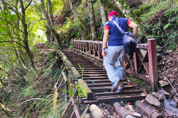
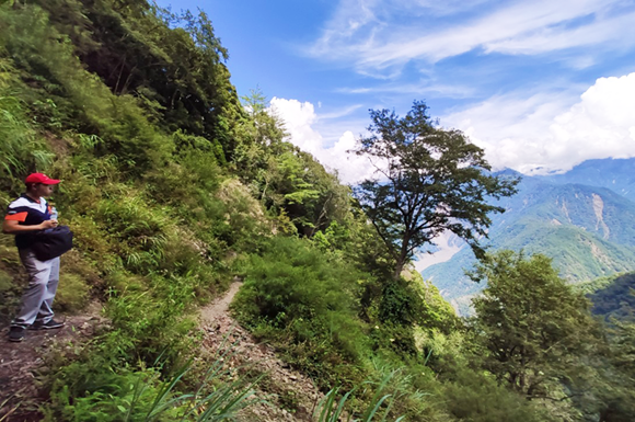
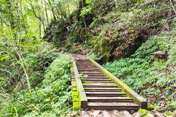
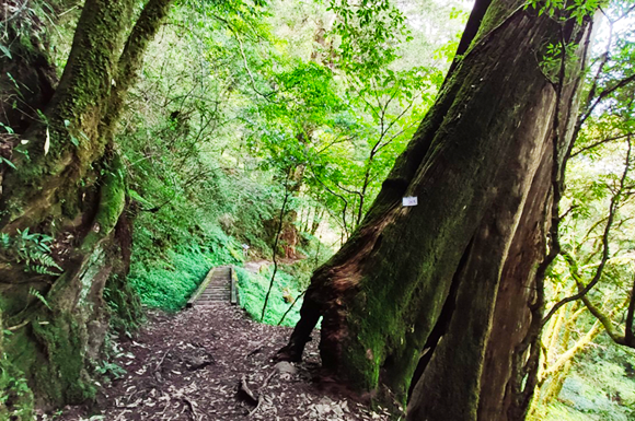
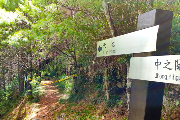
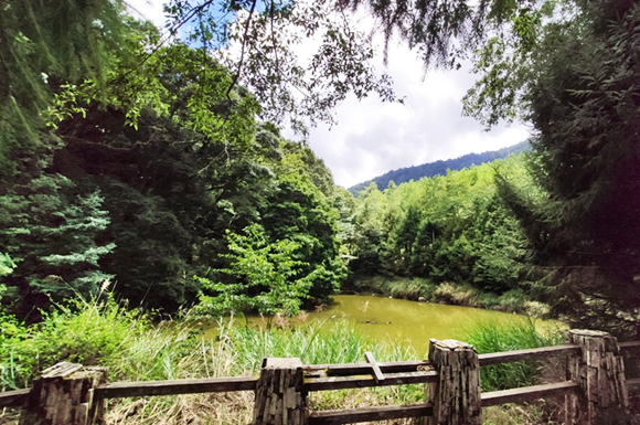
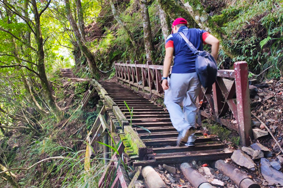
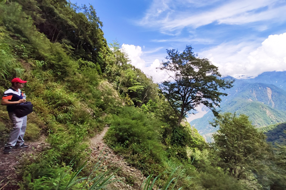
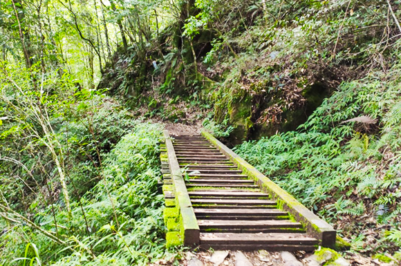
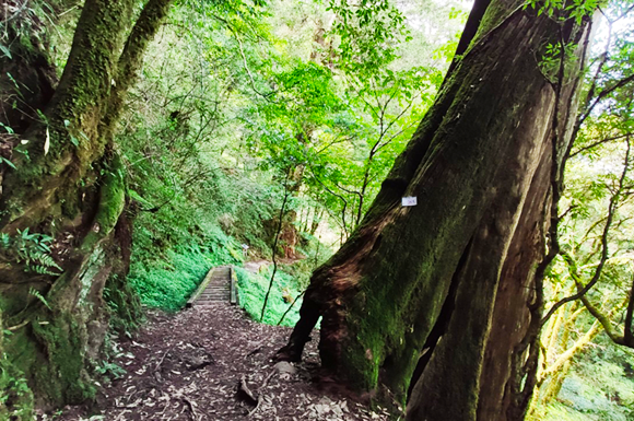
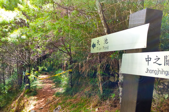
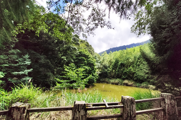
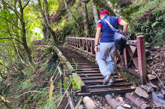
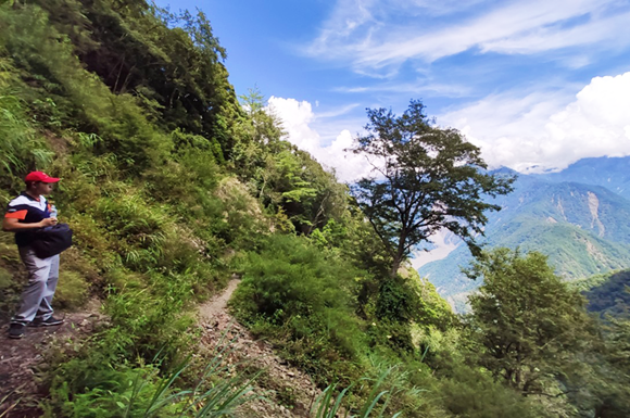
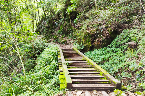
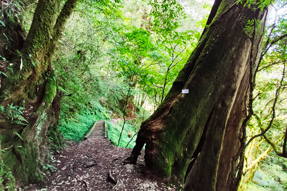
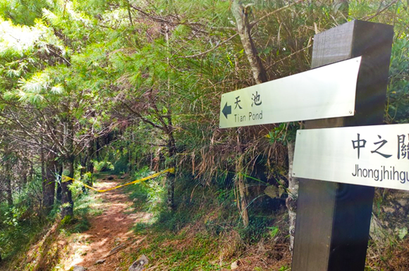
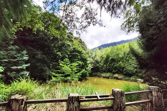
Crossing the Beinan River Bridge at dawn, we begin our journey along the South Cross-Island Highway. ★The South Cross-Island Highway has many scenic spots, but due to time constraints, along with weather and traffic conditions, the itinerary is subject to change at any time. Also, as viewing time is limited, we kindly ask our guests to cooperate so you can enjoy the most beautiful scenery along the South Cross-Island Highway. Along the Xinwulü River on the South Cross-Island Highway, we pass Chulai at 340m → Xinwu at 412m! 0700–0800 Arrive at Xinwu Village to enjoy the plum garden and the Xinwulü River, and have a coffee breakfast. Arrive at Wulu Canyon Village. 0830–0900 Wulu Canyon Village: 731m Wulu Village Battery – Bunun Located at the 187 km mark of the South Cross-Island Highway, surrounded by mountains, this place sits at over 700 meters above sea level with a pleasant, comfortable climate. Before entering the village, you will see a statue of a hunter carrying a wild boar, the village's gateway symbol, which vividly expresses the bravery and fighting spirit of the Bunun people, a highland ethnic group. Inside the village you will feel a very peaceful and quiet place, with the sounds of insects, birds and frogs filling the air; any added human noise seems to disrupt this harmonious rhythm. The village hillsides grow corn, plums and Japanese apricots, and in late winter to early spring, plum and apricot blossoms cover the area. Wulu Battery: Following a small path, past the pavilion behind Wulu Elementary School, you arrive at the Wulu Battery, hidden deep in the forest. Two cannons more than a century old stand at the highest point. From here you can overlook the vast Wulu Village, Wulu Canyon, and the rolling peaks of the Central Mountain Range in the distance. The superb views and weathered cannon barrels bear witness to a chapter of anti-Japanese history filled with bloodshed. 0900–0930 Wulu Canyon was carved by the long-term erosion of the Wulu Creek, forming a grand, S-shaped cliff canyon that is majestic and impressive. Alkaline carbonate springs well up from crevices in the canyon walls, and stalactites formed by long years of hot spring deposits have become a special wonder of the canyon. There is also rich ecology, including Taiwan's native two-needle pines, maples, mountain cherry blossoms and plum blossoms. Along the way there are many wild hot springs: Wulu Hot Spring, Liukou Hot Spring, Bishan Hot Spring, and Mokenan Wild Hot Spring. Dazzling colorful rock walls can be admired right along the roadside. We will enjoy hot spring eggs at Liukou Hot Spring. Stop for about 20 minutes. 0930–1030 Lidao Village – Bunun 1068m. This is a larger Bunun village on the eastern section of the South Cross-Island Highway, at the 175.5 km mark of Provincial Highway 20, over 1,000 meters above sea level, and an important rest stop. Specialties such as red beans, corn, high-altitude vegetables and Bunun crafts are popular. Every year in late April, during the Bunun Ear-Shooting Festival ceremony, this peaceful paradise transforms into a lively mountain village. The Ear-Shooting Festival, held to pray for good hunting, is considered an important Bunun ceremony. Lunch box at the village: bread, fruit, drinks, dried food, village pistia (aiyu) ice, etc.! ★Along the South Cross-Island Highway between Xiangyang and Meishankou controlled zone there are no restaurants, so bring dry food. Along the way we pass Motian at 1546m and Liyuan at 1793m, arriving at Xiangyang National Forest Recreation Area. Xiangyang National Forest Recreation Area 2312m: Closed for now; opening time will be announced separately. The area has a visitor service center and five forest trails: Xiangyang Trail, Xiangsong Trail, Songjing Trail, Songtao Trail, and Songyang Trail; there is also a Taiwan red cypress boardwalk. Main vegetation includes Taiwan two-needle pine, Taiwan red cypress forest, alder, lilies and orchids. Mikado pheasants and Swinhoe's pheasants may also be spotted. 1100–1200 ★Enter the open Xiangyang Viewing Platform trail for a hike, about 1 hour. Jiaming Lake: Mountaineering permit required! Many hiking enthusiasts travel the South Cross-Island Highway to visit Chiaming Lake, often called the "Tears of an Angel." The Chiaming Lake Trail climbs up from Xiangyang Forest Recreation Area. This 3-day, 2-night hike requires crossing Mount Xiangyang and Sanchasan, two of Taiwan's "Hundred Peaks," before reaching Chiaming Lake at an elevation of 3310 meters. Although no streams flow into the lake, it never dries up. Attracting nearly 10,000 visitors every year, it is Taiwan's most popular high-mountain trail. Xiangyang Control Station to Meishan Pass, about 45 km total: Open on days 1.3.5.6.7 each week and daily 07:00〜14:00. 1230〜1400 ★Photography Paradise Section〜Yajia Pass〜Tagwanshan〜Hinoki Valley 1. Yajia Pass: Site of a major landslide, with a spectacular sea of clouds. Stop about 30 minutes. 2. Tagwanshan to Hinoki Valley: After passing Guanshan Tunnel, the scenery feels like a traditional landscape painting. Numerous ancient cypress forests invite slow walks, and the long-lived Taiwan red cypress is a true pleasure. Stop about 30 minutes. Xiangyang Great Collapse Wall〜Guanshan Great Landslide Area: On the southern section of the Central Mountain Range, southwest of Mount Xiangyang, lies a large cliff called the "Xiangyang Great Collapse Wall." It drops from the summit down to near Yajia Pass on the South Cross-Island Highway. When sunlight hits the wall, it shows a dark green sheen. Falling from about 3400 meters at the top to the headwaters of the Xinwulü River. The cliff's top opening faces southwest, with an arc length of about 3 km. The surfaces are barren collapsed walls and broken rock, with a drop of 800 meters, awe-inspiring. Guanshan Pass〜Guanshan Tunnel: Before Guanshan Tunnel, Yajia Pass suffered a large-scale landslide. There is now a viewing area, where you can see the striking landslide and the best sea of clouds on the South Cross-Island Highway. Guanshan Tunnel: At 2722 meters above sea level, 147 km along the South Cross-Island Highway and 615 meters long, it is the highest point of the highway. It marks the boundary between Meishan Village in Taoyuan District, Kaohsiung, and Lijiu Village in Haiduan Township, Taitung. This is an important landmark separating the South 1st and 2nd sections of the Central Range. The view is expansive; if you are lucky, you may see clouds rising from the valley, and many visitors pause here to enjoy the mountain mist. ★Mount Tagwan: Hiking trail requires a hiking permit! Mount Tagwan, Guanshanling, and Kuhanuxin Mountain are together known as the "Three Stars of the South Cross-Island Highway." Over 3000 meters, they are Hundred Peaks at the end of the middle Central Range, within Yushan (Jade Mountain) National Park. Across from its trailhead stands a towering thousand-year-old Taiwan red cypress, a striking landmark. Approx. 2.2 km, about 4 hours total. The clouds and surrounding peaks here are breathtaking, absolutely worth it! Hinoki Valley 2454m: Located on Route 20 between km 141 and km 145. Along the way, the forest is made up of Taiwan red cypress, Taiwan false cypress, spruce, and hemlock. Because Hinoki Valley lies within the fog forest belt, the climate is humid and cool, reflecting mountain climates of warm temperate and cool temperate zones. 1430〜1630 Zhongzhiguan Old Trail Hike 2 hours: 1938m This is a corridor preserved from the old Guanshan cross-ridge trail. After the South Cross-Island Highway opened, parts of the old trail were abandoned. Only after Yushan National Park was established was the old trail resurveyed and developed into a public hiking trail. The trail features beautiful forest, pristine scenery, clear boardwalks, and well-marked interpretive signs, making it a forest-bathing route. Tianchi: At 2280 meters, heart-shaped, this beautiful lake in the southern section of Yushan National Park lies behind Changqing Shrine on the South Cross-Island Highway, a must-see along the Zhongzhiguan Old Trail. Zhongzhiguan Old Trail hike 3.5 km; little sunlight reaches through the forest, so it stays slippery year-round. Hikers, please take care. Meishan Visitor Center (1,014m) is the gateway to Yushan National Park's management area via the Nanhua Highway. It offers dining, rest areas, and guided information, and is built with Bunun stone slabs. Next to it is a Bunun cultural exhibition center. △Laonong River Valley: Rising from Yushan East Peak and Xiuguluan Mountain, the valley passes through the farming townships of Meishan, Taoyuan, Baolai, Laonong, and Liugui in Kaohsiung. The South Cross-Island Highway follows the valley, and the banks of the Laonong River showcase remarkable geological scenery. Meishan Village: Known in Bunun as Mashuhuoer, meaning "a place once rich in rattan." In Bunun migration history, the Laonong River basin was a migration area for the Kunsha people, and Meishan was the last area to be developed. The Meishan settlement took shape about 70-some years ago. "Mashu" means "many," and "huoer" means "rattan", so this place once had abundant rattan! Meishan Suspension Bridge is lined on both banks with extensive plum orchards. △Lamelan Bunun Art Village: An important settlement on the way into Yushan National Park, nestled at the foot of the Central Mountain Range. With just over 200 residents, it is a small but beautiful Bunun village. Tonight's stay is at the Baolai Hot Spring Resort in Liugui. The Baolai Hot Spring area lies along the Laonong River. Its spring water is hydrogen sulfide spring, at about 60°C, and the area is lined with hotels, making it very lively. Guolan Hot Spring Garden Villa Resort Sodium bicarbonate spring – Beauty Bath, at a water temperature of 42°C. Soak away from the bustle of the city and relax. Journey into the natural flavor of the mountains and let your body gently connect with nature's original hot spring. At dawn, soak in the famous waters while admiring the fresh green after rain, enjoy a cup of herbal tea, and listen to the purest symphony of nature. Wash away the worries of daily life and gently massage every inch of your skin. Fully relieve tension and relax your muscles, and let your senses enjoy a spa-like experience that nourishes body, mind, and spirit!
- D4
Baolai Hot Spring, Liugui → Jiaxian → Yujing → coastal expressway → Lukang Old Street → Taipei
Jiaxian Area: Since ancient times, this was a traditional hunting ground for Indigenous peoples. During the Qing dynasty, the Siraya people who lived in the Yujing Basin, along with Han pioneers, gradually crossed eastward over the Alishan Range and settled in the Nanzixian River valley (today's Jiaxian area), naming it Jiaxianpu. Lunch: Lukang local cuisine Lukang Old Street: Consisting of today's Putou, Yaolin, and Dayou streets, with winding red-brick lanes lined with buildings on both sides. Hokkien-style old residences, with various protective charms above the doorways and couplets on either side, tell of the daily rhythms and lifestyles of the elders of the past. Gaomei Wetlands: Spanning 1,500 hectares, Gaomei Wetlands boasts rich natural resources and is one of the few places in Taiwan where wild ducks gather to breed. More than 120 bird species have been recorded here, making it an important ecological conservation area. It is also a great spot for birdwatching, with views of the wind turbines under construction along the western coast, making it a wonderful place for visitors to relax. Return to Taipei via Miaoli. Conclusion of the Hualien–Taitung and South Cross-Island Highway trip.
- D5
Taipei Departure
Alojamiento y comidas
| Día | Desayuno | Almuerzo | Cena | Alojamiento |
|---|---|---|---|---|
| D1 | — | — | Chinese cuisine | The Grand Hotel Taipei or similar |
| D2 | on your own | Taroko culinary feast | Chishang specialty meal | Lele Riri Hot Spring Hotel or homestay |
| D3 | Tribal meal | Tribal boxed meal | Tribal restaurant | Guolan Hot Spring Garden Villa Resort or Zhuanjiao 26 Hot Spring Resort or similar |
| D4 | In-hotel | Lukang local cuisine | Hakka meal | The Grand Hotel Taipei or similar |
| D5 | In-hotel | — | — | — |
D1
- Desayuno
- —
- Almuerzo
- —
- Cena
- Chinese cuisine
- Alojamiento
- The Grand Hotel Taipei or similar
D2
- Desayuno
- on your own
- Almuerzo
- Taroko culinary feast
- Cena
- Chishang specialty meal
- Alojamiento
- Lele Riri Hot Spring Hotel or homestay
D3
- Desayuno
- Tribal meal
- Almuerzo
- Tribal boxed meal
- Cena
- Tribal restaurant
- Alojamiento
- Guolan Hot Spring Garden Villa Resort or Zhuanjiao 26 Hot Spring Resort or similar
D4
- Desayuno
- In-hotel
- Almuerzo
- Lukang local cuisine
- Cena
- Hakka meal
- Alojamiento
- The Grand Hotel Taipei or similar
D5
- Desayuno
- In-hotel
- Almuerzo
- —
- Cena
- —
- Alojamiento
- —
Las comidas y el alojamiento están sujetos a la organización final y pueden variar según la temporada.
Detalle de precios
| Concepto | Precio |
|---|---|
| Adulto | NT$25.800 |
Incluye
- Tour fee includes:
- Tour fee includes: 1. Accommodation 2. Meals 3. Sightseeing 4. Insurance 5. Minibus 6. Tour leader and driver service tips.
No Incluye
- 6. Tour leader and driver service tips
- Tour fee includes: 1. Accommodation 2. Meals 3. Sightseeing 4. Insurance 5. Minibus 6. Tour leader and driver service tips.
Transporte
Private transfers throughout the trip (minibus or coach depending on group size).
Punto y hora de encuentro
Day 1: Pick-up at the arrivals hall of Taoyuan International Airport (TPE). Please provide your arrival flight details when registering.
Travelers already in Taipei may instead meet at Taipei Main Station, East Gate 3 (time to be announced).
Cancelación y reembolso
Handled in accordance with the Tourism Administration, Ministry of Transportation and Communications' "Domestic Travel Standard Contract":
Cancellation 41 or more days before departure: 5% of tour fee as compensation
Cancellation 31-40 days before departure: 10% of tour fee as compensation
Cancellation 21-30 days before departure: 20% of tour fee as compensation
Cancellation 2-20 days before departure: 30% of tour fee as compensation
Cancellation 1 day before departure: 50% of tour fee as compensation
Cancellation on the day of departure or no-show without notice: 100% of tour fee as compensation
Visa y seguro de viaje
Foreign travelers should confirm the visa, electronic travel authorization, or visa-free eligibility required for entering Taiwan based on their passport, and make sure their passport is valid for at least 6 months (see the "Travel Information" section of this website).
In accordance with the Tourism Development Act, we carry travel agency liability insurance and performance guarantee insurance. We recommend travelers purchase personal travel accident and medical insurance separately.
Notas Importantes
Private minibus for 6 people, departs with a minimum of 6 guests.
Tour fee includes: 1. Accommodation 2. Meals 3. Sightseeing 4. Insurance 5. Minibus 6. Tour leader and driver service tips.
Tour fee includes:
1. Accommodation
2. Meals
3. Sightseeing
4. Insurance
5. Minibus
6. Tour leader and driver service tips
Weekend surcharge:
If departing Friday to Sunday, a surcharge of NT$1,000 applies.
por persona
Desde NT$25.800
≈ 714 €Conversión aproximada; el presupuesto final es en nuevos dólares taiwaneses (NT$).
- ✓ Respuesta en menos de 24 horas
- Consultar es gratis: te enviaremos un presupuesto por email.
- Cancelación y reembolso →
Southern Cross-Island Highway, Tianchi & Wulu Gorge, East Rift Valley Hot Springs, 5 Days
Desde NT$25.800
≈ 714 €